Showing posts with label Map (geographical). Show all posts

Wednesday, November 07, 2007

Where's Yahoussouf? The app

I thought other people might like the where-am-I-map on the left I blogged about.

I had the application submitted (a friend helped me out, somehow cuddly sheep seem not to be recognized as application developers) at Yahoo!'s application gallery.

Have a look at: http://gallery.yahoo.com/apps/15419.
Don't forget to rate the application ;-)

If you use it on your blog or site, please let me know. I'm curious. And feel free to link to this blog.

Thursday, November 01, 2007

Where's Youssouf? Look at the map!

Last Saturday I've returned from a brilliant journey through Cambodja. Really awesome.

But the visitors of this blog had no way to see easily where I'm currently around the globe. That's why I've done some sheepish hacking with Yahoo! Maps and some other tools.

The result can be seen permanently in the left sidebar. The map displays my photo :-) You can zoom in and out and drag the map around. From now on it's easy for me to update where I am.

I hope you like this gadget!

Friday, June 08, 2007

Boat trip around Lago de Atítlan, Guatemala - 16 April 2007

After visiting Chichicastenango for it's Maya market on Sunday, the previous day, I continued my trip to Panajachel at the shores of Lago de Atítlan. Lago de Atítlan is a large lake in a volcanic crater, surrounded by three volcano's. Especially in the morning the view is beautiful. Tranquil blue water, blue skies and the volcano's as a gentle shadow at the horizons. On Monday I rented a boat for a trip around Lago de Atítlan. I went from Panajachel to Santiago Atítlan, where I met Maya god Maximón. Then on to San Antonio Palopo for looking at how the coulourful cloths the Maya's are wearing traditionally are made. And on to Santa Catarina Palopo for just a bit of looking around. It's a different world out there!

To see where this photo was taken exactly, have a look at the interactive map and zoom in and out for a better overview.


Map of the boat trip around Lago de Atítlan
Satellietfoto met boottrip op Lago de Atitlán, Guatemala

Legend:
Red = travel by bus
Green = travel by boat
Pink = travel by plane
Yellow = Daytrip / excursion (by bus or car)
Yellow with green dotting = Daytrip / excursion by boat


Sailing towards Santiago Atítlan 1
Sailing towards Santiago Atítlan 1 - Youssouf's boat trip around Lago de Atítlan, Guatemala - 16 April 2007

Here I am sitting in the boat.


Sailing towards Santiago Atítlan 2
Sailing towards Santiago Atítlan 2 - Youssouf's boat trip around Lago de Atítlan, Guatemala - 16 April 2007

You can see one volcano in the background.


At a loom for weaving Maya fabrics in San Antonio Palopo
At a loom for weaving Maya fabrics in San Antonio Palopo - Youssouf's boat trip around Lago de Atítlan, Guatemala - 16 April 2007

In San Antonio Palopo I went with a lady to her house. Of course she wore the traditional selfmade colourful clothes. She showed me around in her little house, showing the loom she uses for weaving and all the fabrics she made. It was great to see all of that! I love those colours. Each little town around Lago de Atítlan has its own pattern of fabrics.

Sunday, June 03, 2007

In Antigua and at the Volcano Pacaya, Guatemala - 13 April 2007

April 12th I took the long bus trip from Copán in Honduras to Antigua in Guatemala. Quite a different climate and culture. Antigua is a colonial city and looks more like the colonial buildings in Madrid than to the rest of Guatemala. Lovely town and not as hot as Copán (moderate temperature).

After a nice and well deserved breakfast, I went for a daytrip up the Volcano Pacaya. It's still active and there's still lava coming out. This is one of the most thrilling experiences you can have. You can almost feel the fibers in your fleece starting to melt. The landscape is filled with fractal shaped black rock. Almost a moon landscape. The sight (and feel) of the glowing lava is something to never forget.

To see where these photo's were taken exactly, have a look at the interactive map and zoom in and out for a better overview.

Breakfast at Fernando's Kaffee
Breakfast at Fernando's Kaffee - Youssouf in Antigua, Guatemala - 13 April 2007

The previous day I had a long bus journey from Copán in Honduras to Antigua in Guatemala. So I thought I deserved a nice breakfast. Fernando's Kaffee in Antigua is a great place for breakfast. Good atmosphere and excellent liquados (fruit shakes). Don't forget to take the panqueques con Nutella, chocolate & banana pancakes!


Map of the daytrip from Antigua to the volcano Pacaya
Satellietfoto van de dagtrip van Antigua naar de vulkaan Pacaya, Guatemala

Legend:
Red = travel by bus
Green = travel by boat
Pink = travel by plane
Yellow = Daytrip / excursion (by bus or car)
Yellow with green dotting = Daytrip / excursion by boat


Sitting at some volcanic rock
Sitting at some volcanic rock - Youssouf at the Pacaya Volcano, Guatemala - 13 April 2007

After climbing the Volcano Pacaya for an hour or 2, we encountered the first parts of the where the volcanic rock had flown. Almost fractally sharp, black rock. Strange stuff. Look at the structure of the rock.


Lava coming down the volcano
Lava coming down the volcano - Youssouf at the Pacaya Volcano, Guatemala - 13 April 2007

This was the first peak we had at the top of the vulcano. You could see the smoke coming out and the hot lava coming down. An out of this world sight!

Wednesday, May 30, 2007

At the Copán Maya site, Honduras - 11 April 2007

April 10th I took the chickenbus from Rio Dulce to Copán. A long journey of over 7 hours... See the map below for the route. The goal: Copán. Confusingly the town near the ancient Maya site of Copán is called Copán Ruínas and the site itself only Copán.

April the 11th I visited the ruins of Copán. Really excellent. And hot. So many temples, stellae, statues, carved hieroglyphs. The Maya's did know how to build. No sheep depicted in the stones somehow.

To see where these photo's were taken exactly, have a look at the interactive map and zoom in and out for a better overview.


The map of the travel from Rio Dulce (Guatemala) to Copán (Honduras)
Satellietfoto van reisroute van Rio Dulce (Guatemala) naar Copán Ruínas (Honduras)

Legend:
Red = travel by bus
Green = travel by boat
Pink = travel by plane
Yellow = Daytrip / excursion (by bus or car)
Yellow with green dotting = Daytrip / excursion by boat


With a macaw at the entrance
With a macaw at the entrance - Youssouf at the Copán Maya site - Maya site Copán, Honduras - 11 April 2007

At the entrance of the ruins, there were some beautiful macaws sitting at the fence. They were a bit scared to be near me. I guess they've never seen a cuddly sheep before...
The Dutch call a macaw 'ara'.


With some stone monkeys
With some stone monkeys - Youssouf at the Copán Maya site - Maya site Copán, Honduras - 11 April 2007

Too much to see out there at this archeological site. Hieroglyphs, sculptures, temples. These stone monkey faces were put on a temple.


At a court and temple
At a court and temple - Youssouf at the Copán Maya site - Maya site Copán, Honduras - 11 April 2007

Copán consists of several courts, with lots of temples. This is one of those temples.

Thursday, May 24, 2007

Youssouf's boattrip from Livingston to Rio Dulce - Guatemala - 8 April 2007

On April 8th I went from Livingston at the Guatemalan Caribean coast inlands on the river Rio Dulce. Going by bus instead of boat to the town of Rio Dulce is just as easy as going by boat instead of bus through the Sahara desert. So I chose a touristy boat trip, to see more of the Guatemalan jungle.
The Guatemalan jungle has more hills and mountains than in Belize, so that was interesting to see as well.

I just love the jungle.

Satellietfoto van boottrip van Livingston naar Rio Dulce, Guatemala

Legend:
Red = travel by bus
Green = travel by boat
Pink = travel by plane
Yellow = Daytrip / excursion (by bus or car)
Yellow with green dotting = Daytrip / excursion by boat


Youssouf's boattrip from Livingston to Rio Dulce - Guatemala - 8 April 2007.
Youssouf's boattrip from Livingston to Rio Dulce - Guatemala - 8 April 2007

In the jungle near a small creek. Lovely epifyts and flowers!
To see where these photo's were taken exactly, have a look at the interactive map and zoom in and out for a better overview.

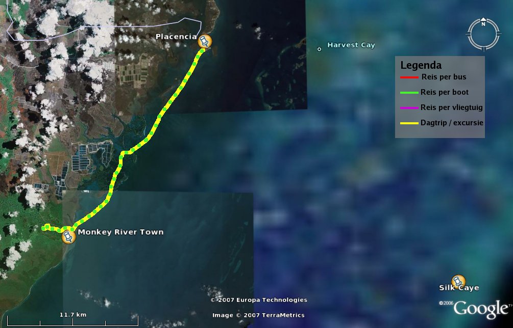
Daytrip on the Monkey River - Belize, 5 April 2007

On April 5th I went from Placencia with a small boat (6 people and 1 sheep) through the mangroves to Monkey River town. This Monkey River Tour led up the Monkey river. In the mangroves there were lots of birds; pelicans, great egrids, magnificent frigatebirds. Up the river you could see bats, a fresh water turtle, big spiders, lots of jungle, birds of prey like the black vulture and much more. In the jungle there were lizards, howler monkeys and even a 12 foot boa!

To see where these photo's were taken exactly, have a look at the interactive map and zoom in and out for a better overview.

Click on the photo's for a larger version.

Map of the daytrip from Placencia up the Monkey River
Legend:
Yellow = daytrip
Green = travel by boat

Map of the daytrip up the Monkey River

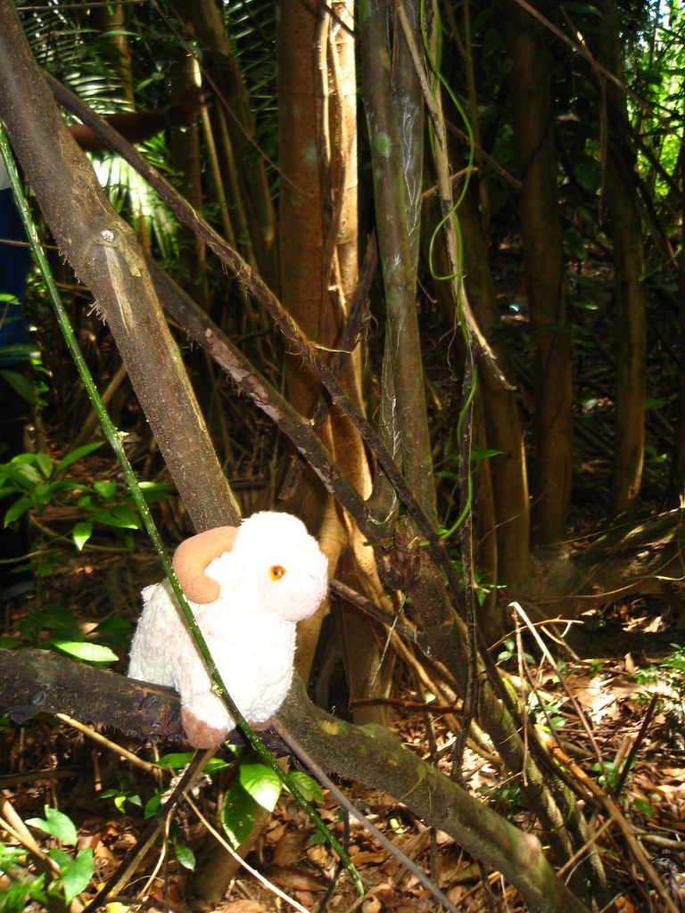
In the Jungle near the Monkey River
In the Jungle - Youssouf at the Monkey River Tour daytrip - Placencia, Belize - 5 April 2007

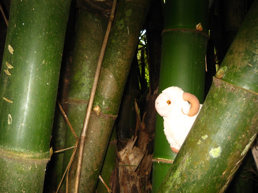
In a Bamboo Forest near the Monkey River
Bamboo Forest - Youssouf at the Monkey River Tour daytrip - Placencia, Belize - 5 April 2007

Wednesday, May 23, 2007

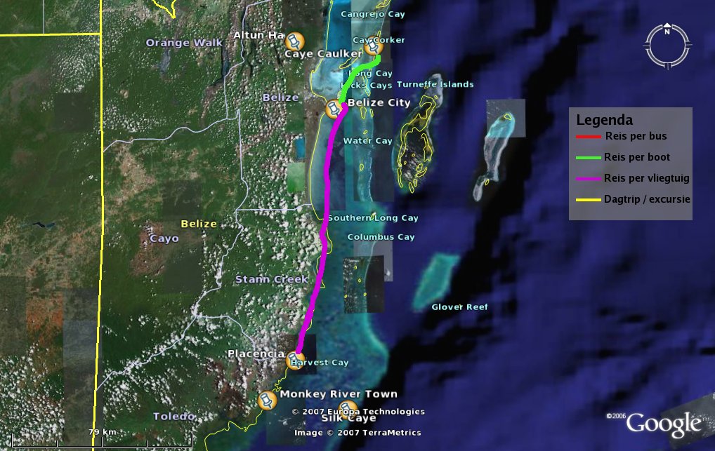
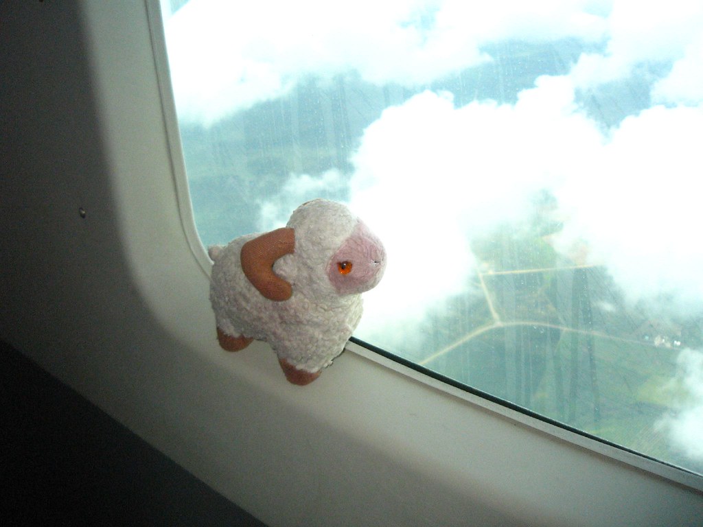
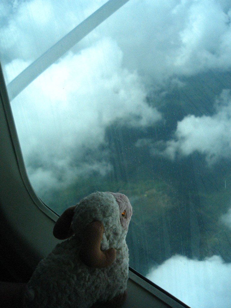
Flight from Belize City to Placencia - Belize, 3 April 2007

April 3 I went from the island of Caye Caulker to the peninsula of Placencia, in the south of Belize. First with the watertaxi (speedboat) to Belize City, from there on with a 10 seater plane to Placencia.

Excellent view of the landscape, the coastline, the swamps and jungle of Belize from the plane!
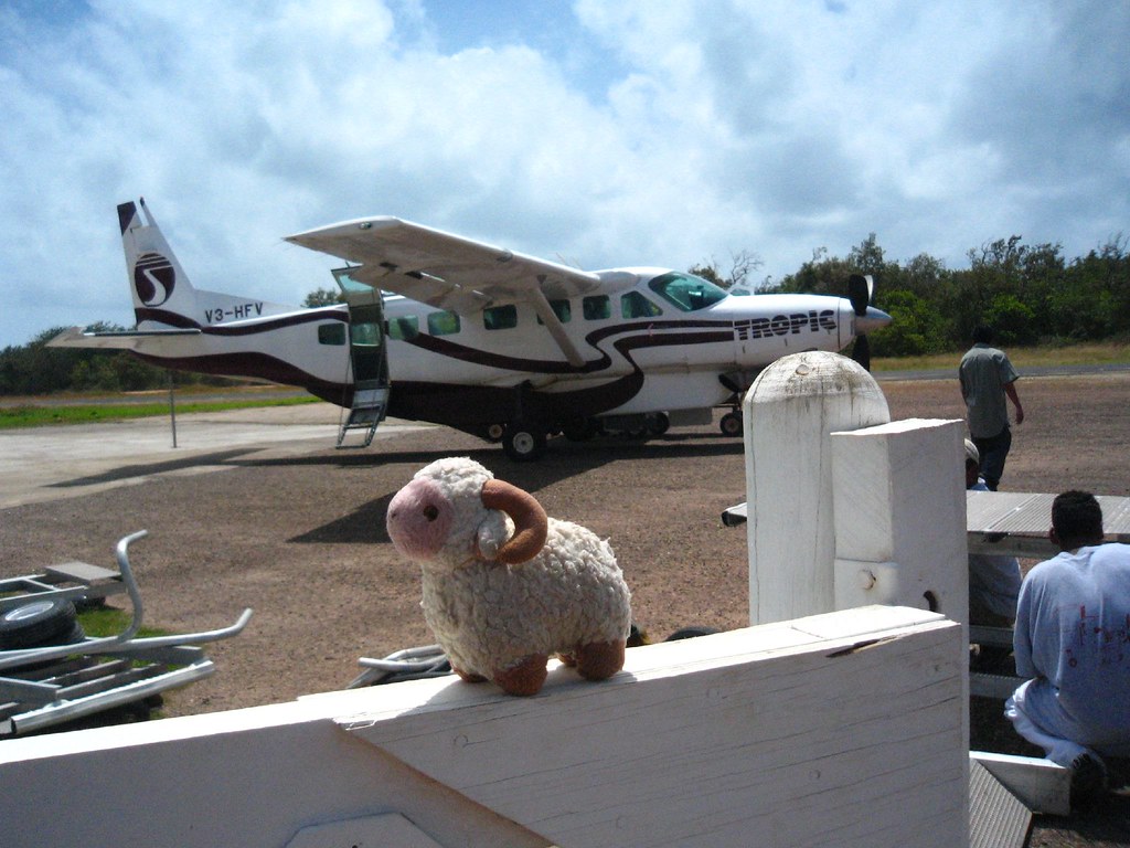
Also fun to fly in a very small plane: you see everything and the landing on the Placencia airstrip was touch the ground and 3 seconds later you make a turn and you stand still.

To see where these photo's were taken exactly, have a look at the interactive map and zoom in and out for a better overview.

Click on the photo's for a larger version.

Map of the travelling from Caye Caulker to Placencia.
Legend:
Green = travel by boat
Pink = travel by plane
Map of the travelling from Caye Caulker to Placencia.

In the plane from Belize City to Placencia 1
Youssouf in the plane from Belize City to Placencia 1 - Belize - 3 April 2007

In the plane from Belize City to Placencia 2
Youssouf in the plane from Belize City to Placencia 2 - Belize - 3 April 2007

At the Placencia airstrip
Youssouf at the Placencia airstrip - Belize - 3 April 2007

Tuesday, May 22, 2007

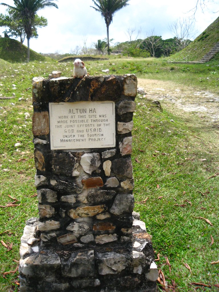
Maya Ruins of Altun Ha - Belize, 2 April 2007

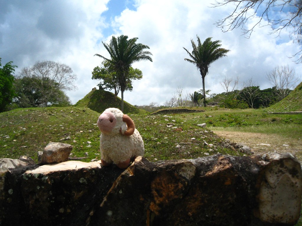
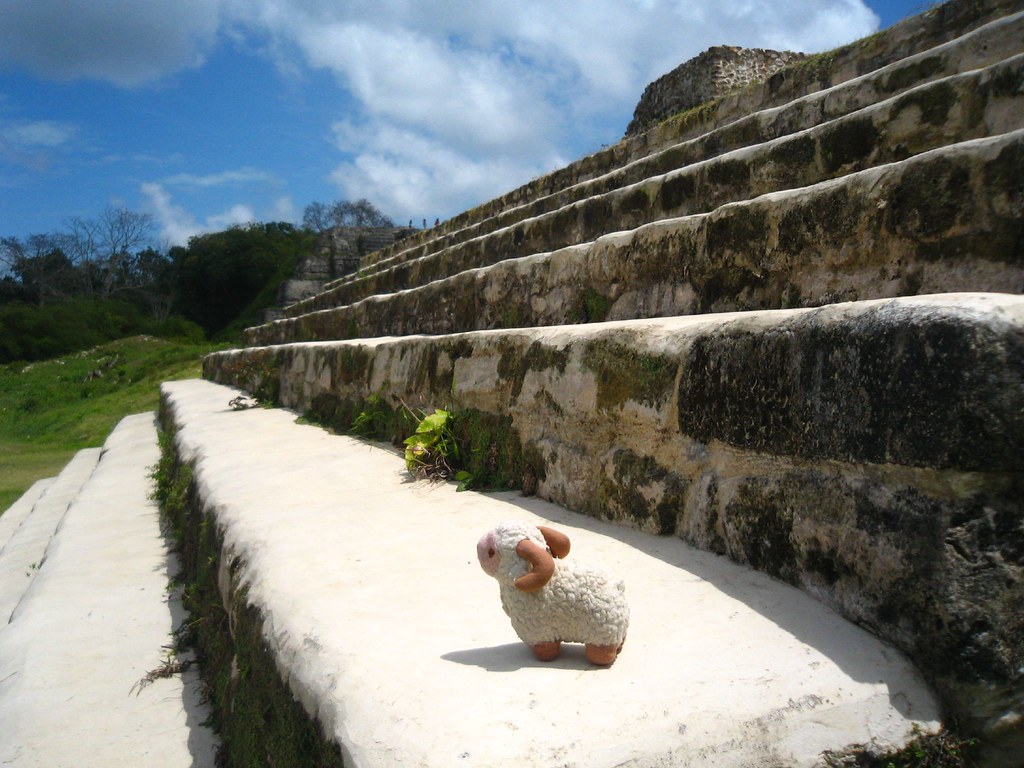
On April 2th I went from Caye Caulker by boat to Belize City, from there on by car to the Maya Ruins of Altun Ha. An excellent site. Very quiet, very green. No ball court or places for sacrifice out there, so the rulers of this ancient Maya City did not have to suppress the population. Quite a unique feature in the ancient Maya world.

To see where these photo's were taken exactly, have a look at the interactive map and zoom in and out for a better overview.

Click any of the images below for a larger version.

Map of the trip to Altun Ha in Belize.
Legend:
Yellow = daytrip
Green = travel by boat
Map of the trip to Altun Ha in Belize

At the Altun Ha sign
Youssouf at the Altun Ha sign

Overview of the plaza
Youssouf at Altun Ha - Overview of the plaza

On the steps of a temple
On the steps of a temple - Youssouf at Maya ruines of Altun Ha

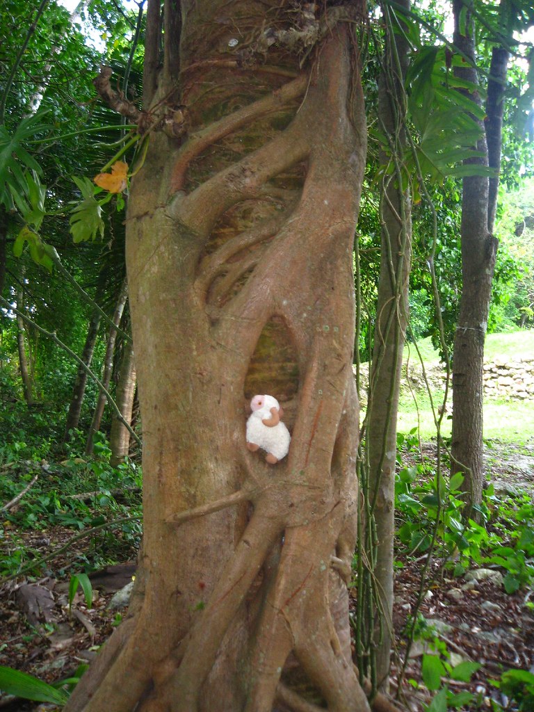
Strangler fig
Strangler fig - Youssouf at Maya ruines of Altun Ha

On top of a temple
On top of a temple - Youssouf at Maya ruines of Altun Ha

Monday, May 21, 2007

Trip to Belize, Honduras and Guatemala - 31 March till 19 April 2007

Currently I'm in Ohio, USA. But, no photo's from that trip yet.

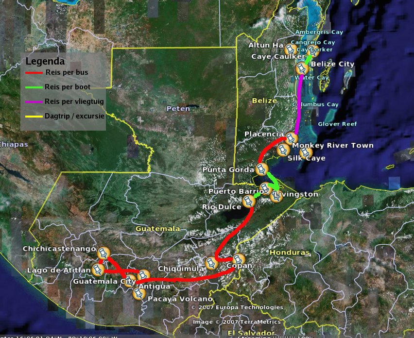
I'm back for a month from my last trip. A trip through Belize, Honduras and Guatemala. Starting March 31st, ending April 19th. Central America is really great and beautiful.

The trip went from the island Caye Caulker to peninsula Placencia, both Belize. From there on via Punta Gorda to Guatemala; by boat to Puerto Barrios and on to Livingston. After a night in Livingston I went to Rio Dulce for some relaxing. And then on to Copán in Honduras, for the Maya ruines. And from Copán on to Antigua in Guatemala. Proceeding the trip to Lago de Atítlan. And everywhere in between I made some nice daytrips. You'll hear about them soon ;-)

Below you'll find the map of my route. Click on the map or the photo's below for a bigger version.

The legend of the map is in Dutch, so here's the translation:
Red = travel by bus
Green = travel by boat
Pink = travel by plane
Yellow = daytrip

Map of Youssouf's travels through Belize, Honduras and Guatemala

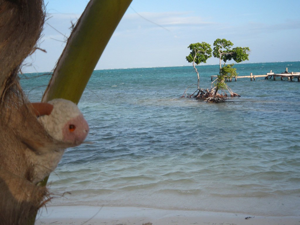
Youssouf in coconut palm with bonsai mangrove at Caye Caulker - Belize - 2 April 2007

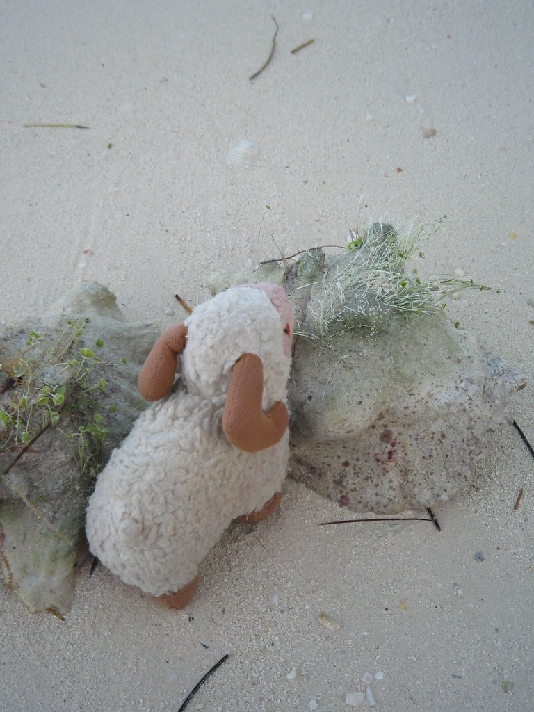
Youssouf at the beach of Caye Caulker - Belize - 2 April 2007

To see where these photo's were taken exactly, have a look at the interactive map and zoom in and out for a better overview.

Thursday, December 02, 2004

Isla Margarita in 2001


I have been traveling for quite some time.
In May 2001 I needed a small break and decided to go for a week to Isla Margarita.
A small island with sandy white beaches a few miles from the coast of Venezuala.

If you click on the map, you get a bigger map so you can take a closer look. The tiny red arrow is where Isla Margarita is situated.


Relaxing on a boat under the palm trees. The photo's were made with a disposable camera. The pictures are not excessively sharp... And I appear rather small on them, that's why I have zoomed a little.


I love the beaches over there.

After sipping on a cocktail, I watched the sea for hours. Really relaxing!